Project Overview
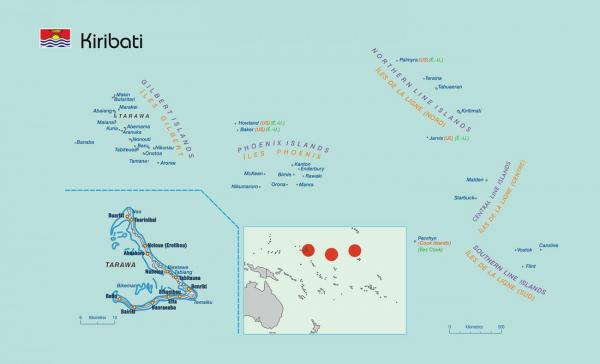
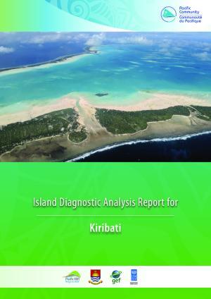
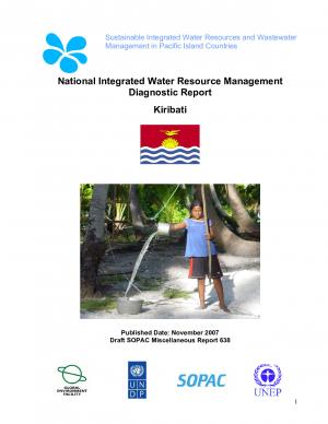
Kiribati comprises a group of 33 Pacific atolls straddling the equator to include the three island groups; Gilbert Islands, Line Islands and Phoenix Islands. These are mostly low-lying coral atolls surrounded by extensive reefs. Kiribati has a territorial area of over three million km spread over 33 islands, of which 21 are uninhabited. South Tarawa, with a land area of 18sq.km supports the highest population density, approx. 43% of the islands. The remaining population
is scattered across the dispersed outer islands.
The main problems in the water sector relate to (i) water supply on urban south Tarawa (ii) management and protection of the water resource, and (iii) development of capacity in the key water sector institutions including the Public Utilities Board
and Water Engineering Unit. Rainwater in Kiribati is considered only as a supplementary water source. This is due to the uneven distribution of rainfall through out the year.
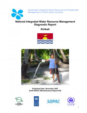
Droughts lasting many months are common, making large storage tanks necessary. Water on South Tarawa as well as outer islands is sourced from groundwater lens and where possible, supplemented with rainwater collection at the household level. The potable water supply from the existing reticulation is insufcient, and often restricted to one hour a day.
Shortages of drinking water that have been experienced during prolonged droughts in some islands, appears to point
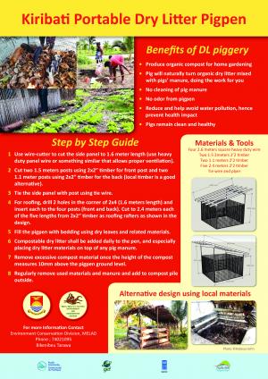
out that the traditional methods of extracting drinking water from the ground are inadequate. A larger desalination plant supplements the reticulated groundwater system on South Tarawa and was established in 1999. The main draw back of desalination plants for SIDS is the energy cost of running such facilities. The high incidence of water-related diseases (mainly diarrhoea), particularly on South Tarawa, can be attributed to people still using shallow open hand-dug wells contaminated by nearby sewage soak pits, leaking toilet pipes, and faces from Tarawa lagoon and local pig-pens.
The common type of sanitation system in the country ranges from a simple pit latrine commonly used in the outer islands to sewerage system on the three major centres of South Tarawa; i.e. Betio, Bairiki and Bikenibeu. The raw sewage from this system is discharged to the edge of the reef without any treatment.
Compost toilets were introduced though were not popular and were seen as inappropriate by the population. Public facilities exist in high-density areas but are not used, as they are not maintained, resulting in the population returning to the tradition of defecating on the beach.
There is heavy pollution of the South Tarawa lagoon due to heavy population migration mixed with traditional practices such as lagoon latrines and open pit dumping, risking the integrity of groundwater. Land issues compounded by the reality of land shortage and complex family land ownership has meant that water reserves set aside for ‘public’ water supply have been under increasing pressure from squatters and agricultural/plantation uses.
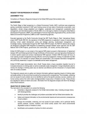
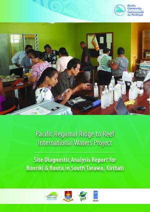
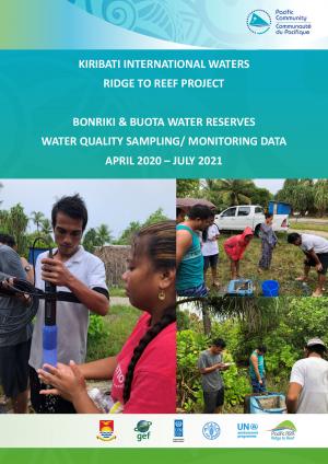
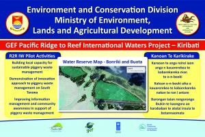
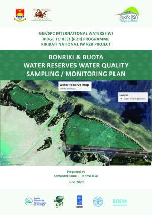
These issues continue to plague the protection of the current major reserves at Bonriki and Buota, thus leading to the establishment in 2002 of Water Reserve Management Committees. These partnerships with communities and government are now working through the numerous water resource management issues including annual compensation payments, squatter removal, cemetery relocation and appropriate land use, all integral to sustaining the future of
the water resource and health of the atoll.
Project Components:
|
Key Resources
Project Contacts

National Project Manager IW R2R Project
[email protected]
Mrs. Taare Aukitino
Political Focal Point
Secretary
MELAD
[email protected]
Mrs. Nenenteiti Teariki Ruatu
Operational Focal Point
Director
Environment & Conservation Division
MELAD
[email protected]
Resources
| File(s) | |
|---|---|
| https://www.melad.gov.ki/ |
| File(s) | |
|---|---|
|
Kiribati |
| File(s) | |
|---|---|
|
Project Progress Kiribati |
